SDG FOUNDATION

Projects & Impact

From landscapes and watersheds to rivers and communities, our projects apply geospatial evidence to real-world challenges.

Chikhli & Khamgaon Blocks, Buldhana District, Maharashtra
PROJECT IMAGE
Completed · 2026

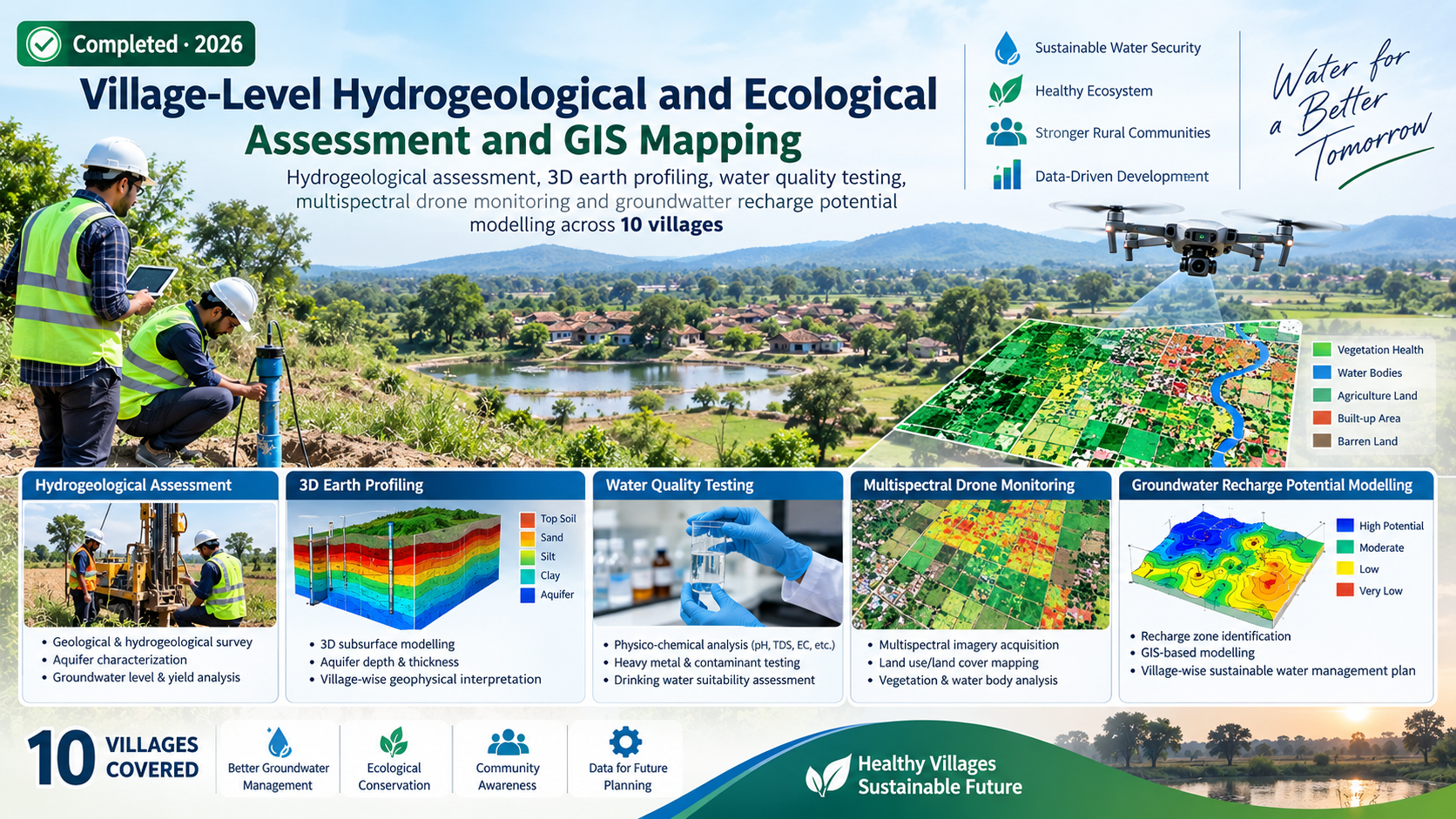
Village-Level Hydrogeological and Ecological Assessment and GIS Mapping

Hydrogeological assessment, 3D earth profiling, water quality testing, multispectral drone monitoring and groundwater recharge potential modelling across 10 villages.

WaterGISRemote SensingGroundwater
View project →
Bada Malhara Block, Chhatarpur District, Madhya Pradesh
PROJECT IMAGE
Completed · 2026

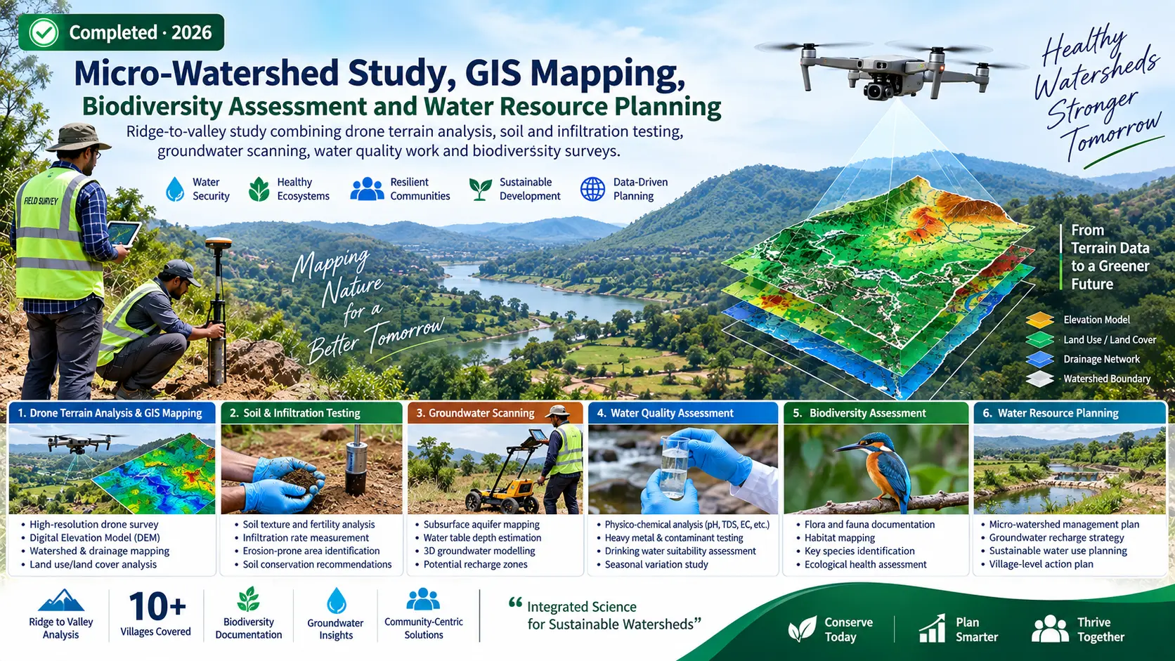
Micro-Watershed Study, GIS Mapping, Biodiversity Assessment and Water Resource Planning

Ridge-to-valley study combining drone terrain analysis, soil and infiltration testing, groundwater scanning, water quality work and biodiversity surveys.

WaterWatershedBiodiversityGIS
View project →
West Singhbhum, Jharkhand
PROJECT IMAGE
Ongoing · 2026

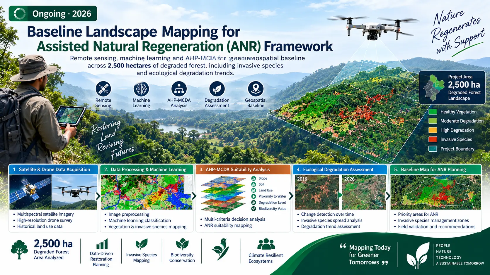
Baseline Landscape Mapping for Assisted Natural Regeneration (ANR) Framework

Remote sensing, machine learning and AHP-MCDA for a geospatial baseline across 2,500 hectares of degraded forest, including invasive species and ecological degradation trends.

EnvironmentForestRemote SensingGeoAI
View project →
Selected stretch of the Betwa River Basin
PROJECT IMAGE
Ongoing · 2026

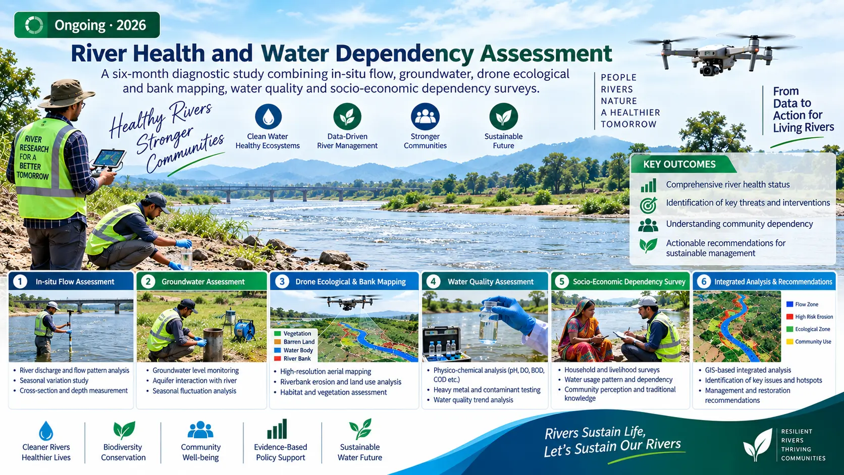
River Health and Water Dependency Assessment

A six-month diagnostic study combining in-situ flow, groundwater, drone ecological and bank mapping, water quality and socio-economic dependency surveys.

RiverWater QualityEcologyCommunity
View project →

LET'S WORK TOGETHER

Have a project, research idea or partnership opportunity?

Contact SDG Foundation →