Ridge-to-valley landscape assessment
PROJECT
Micro-Watershed Study, GIS Mapping, Biodiversity Assessment and Water Resource Planning
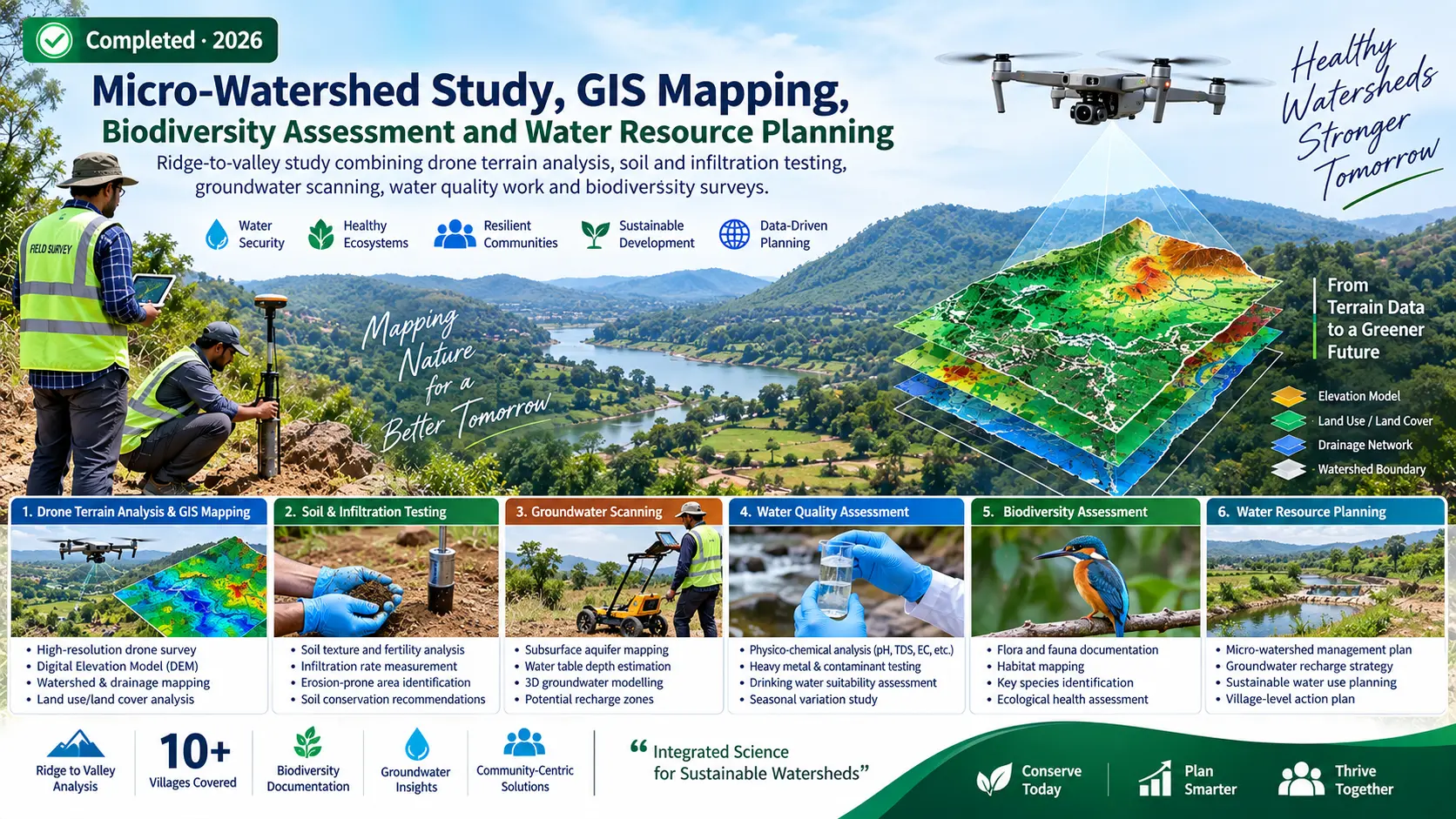
Ridge-to-valley study combining drone terrain analysis, soil and infiltration testing, groundwater scanning, water quality work and biodiversity surveys.
PROJECT OVERVIEW
Context, evidence and action.
Ridge-to-valley study combining drone terrain analysis, soil and infiltration testing, groundwater scanning, water quality work and biodiversity surveys.
ClientParmarth Samaj Sevi Sansthan (PSSS)
LocationBada Malhara Block, Chhatarpur District, Madhya Pradesh
StatusCompleted · 2026
METHODOLOGY & COMPONENTS
Selected technical components.
Drone terrain profiling
Soil and infiltration testing
Groundwater scanning
Water quality assessment
Biodiversity surveys
GIS-AHP site suitability modelling
196 proposed artificial recharge structures with DPRs
STUDY AREA
Spatial context.
Map, imagery and field photographs can be added here to document the project area and evidence.
MAP PLACEHOLDERAdd project study-area map
LET'S WORK TOGETHER